What is the difference between a Boundary Identification & a Boundary Reinstatement?
In New Zealand, land surveying and the demarcation of property boundaries are guided by specific legal and regulatory frameworks. Two key concepts within this framework are "boundary identification" and "boundary redefinition." These terms relate to the processes used to establish or clarify the location of property boundaries, but they serve different purposes and are applied under different circumstances.
Boundary Identification
Boundary identification involves determining the location of existing legal boundaries according to their description in a title or survey plan. This process does not alter the legal status of the boundary; instead, it aims to accurately locate and indicate the boundary on the ground based on historical records, survey data, and physical evidence. Boundary identification is often required when:
Selling or purchasing land to ensure the correct parcel is being transferred.
Erecting fences or buildings near a property line to avoid encroachments.
Resolving disputes between neighbours over the location of a boundary.
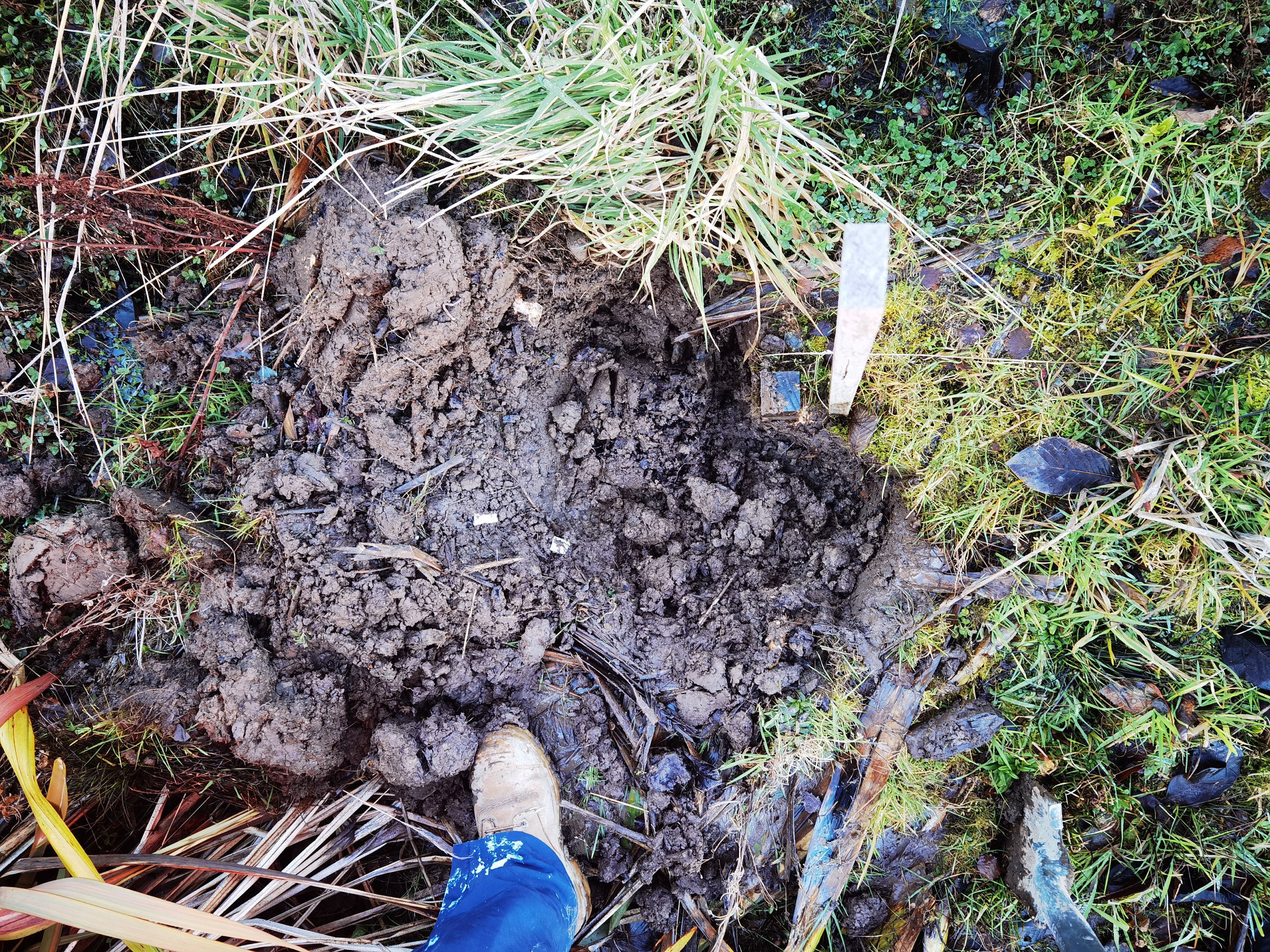
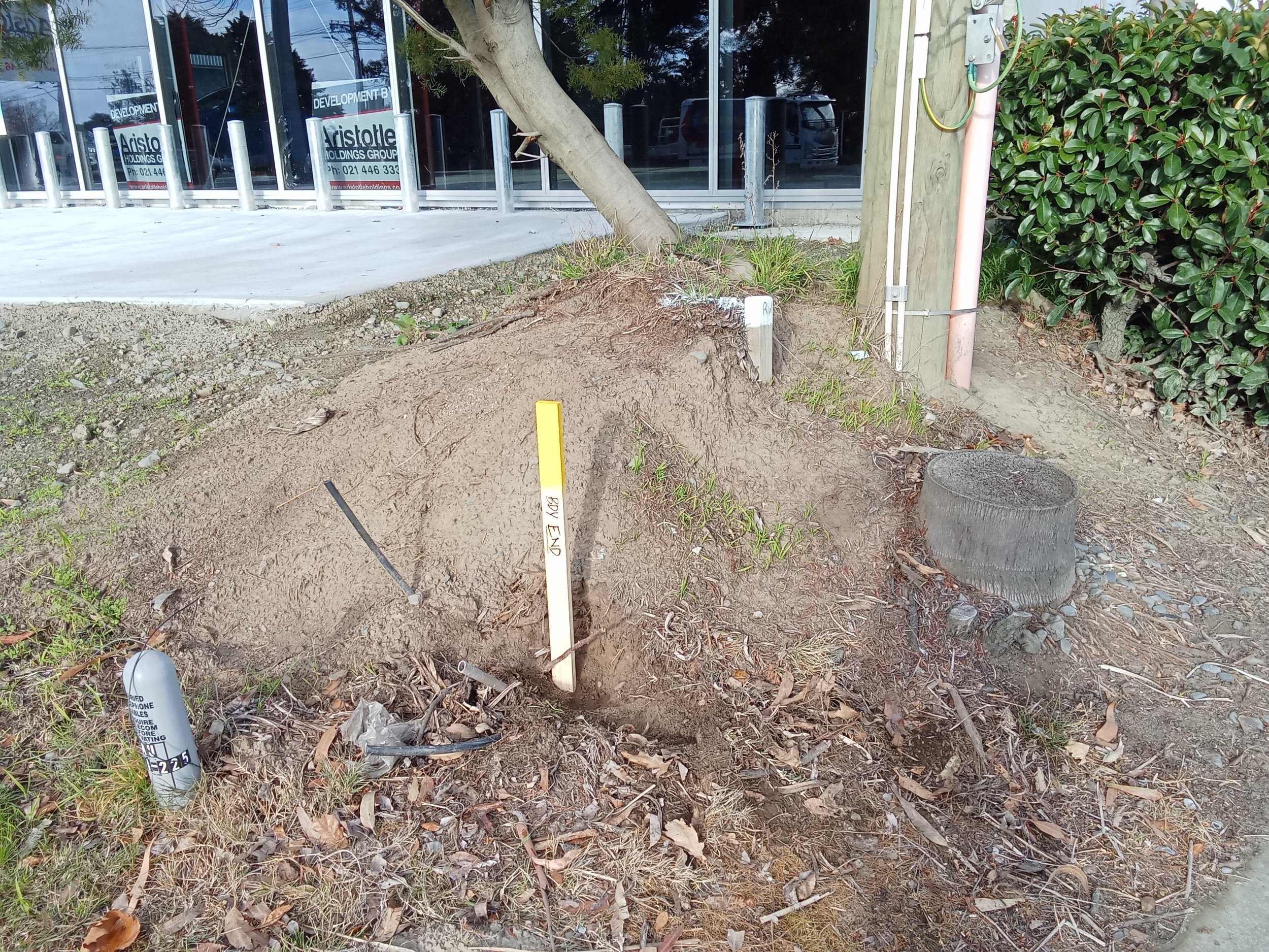
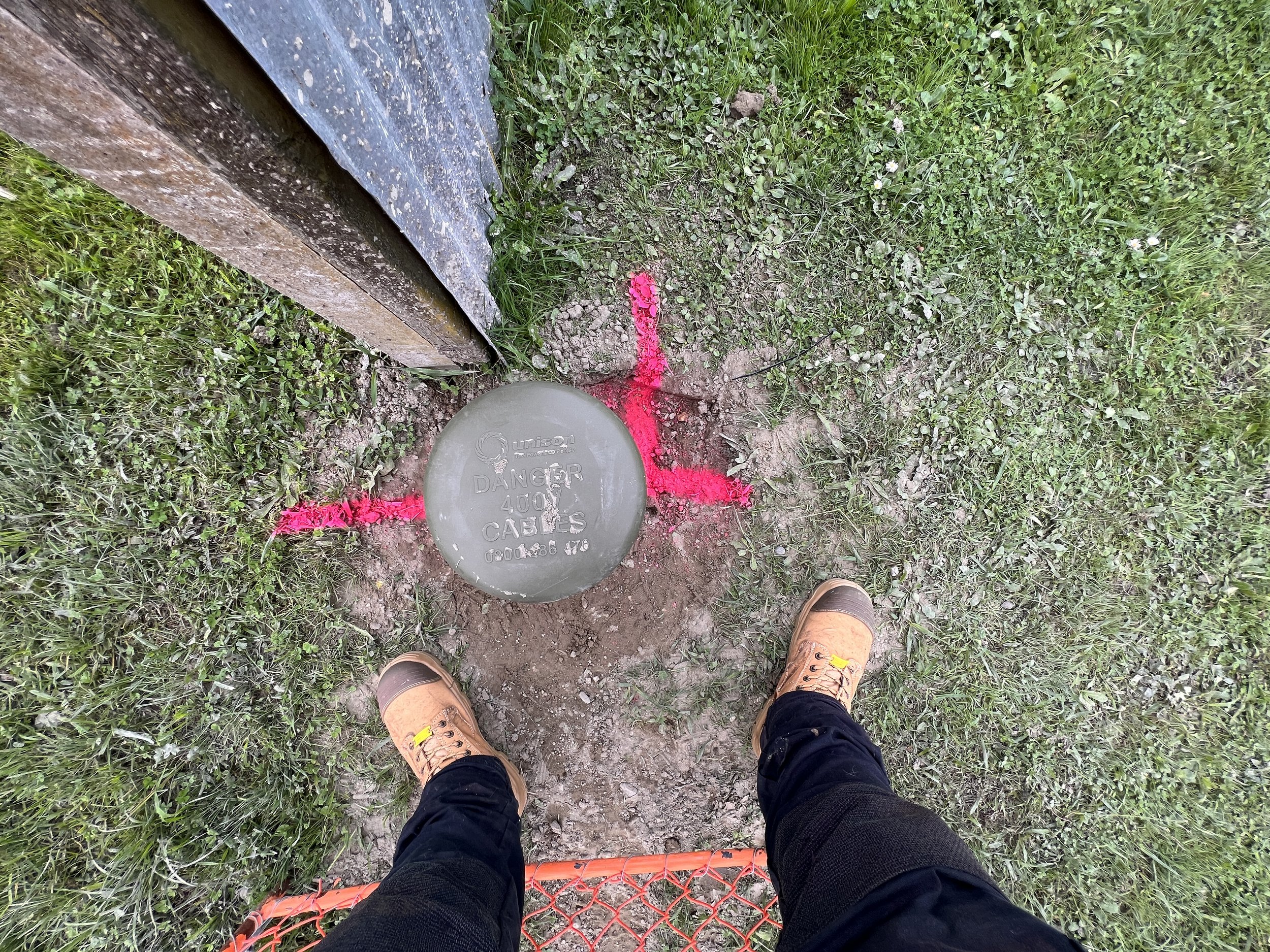
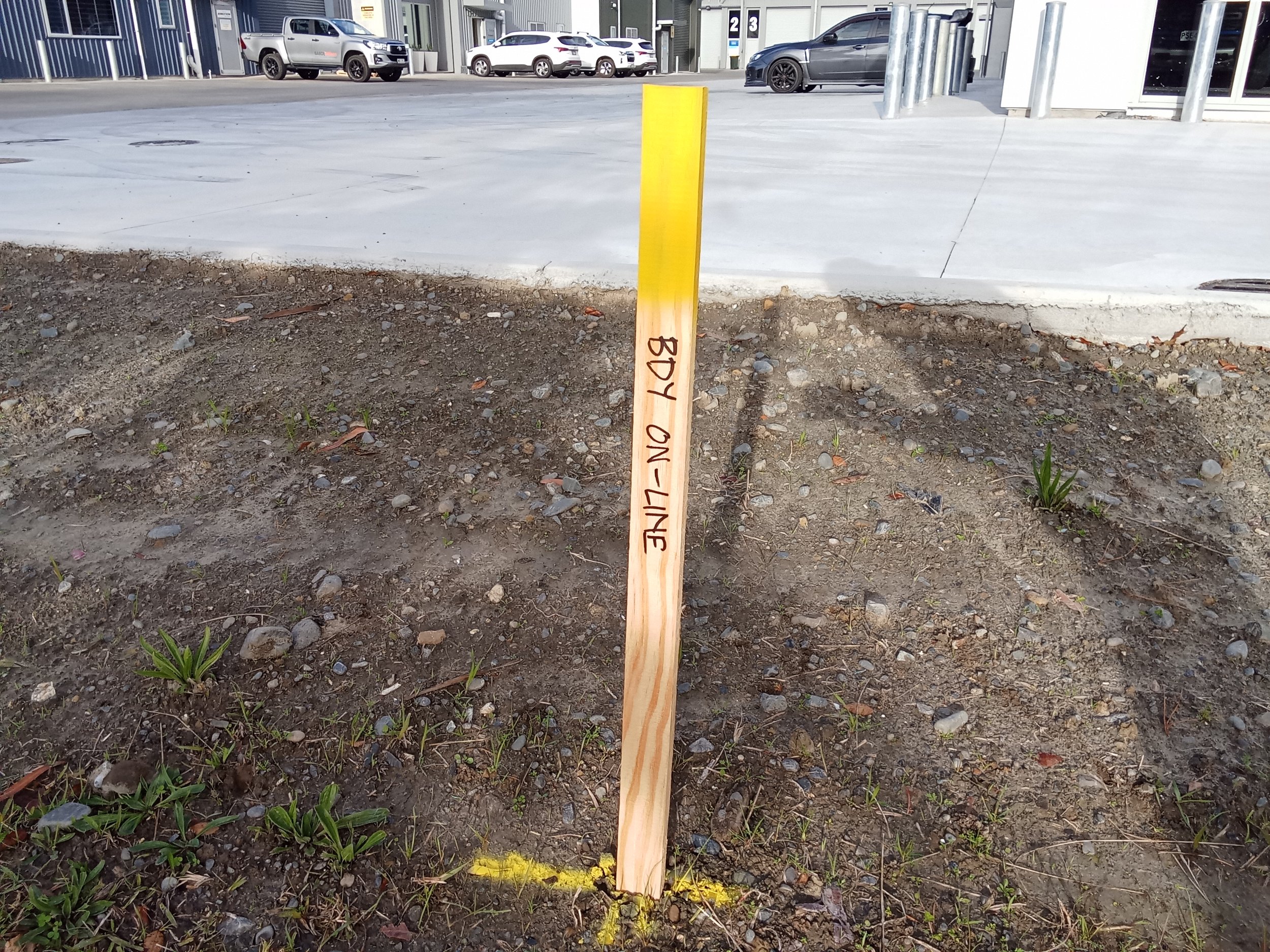
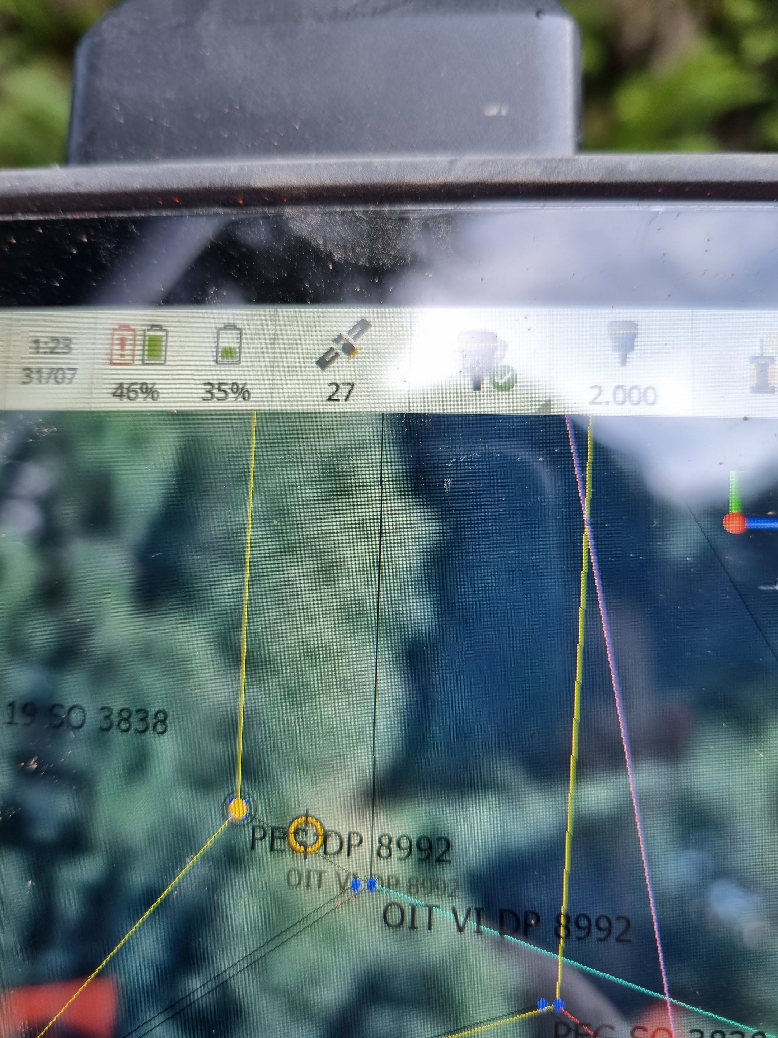
The process is carried out by a Licensed Cadastral Surveyor who uses existing records and physical evidence (such as old survey pegs or natural markers) to identify the boundary. The surveyor's role is to interpret and apply historical data to the physical landscape, clarifying the boundary's position without altering its legal status.
Boundary Reinstatement
Boundary reinstatement, on the other hand, involves the legal process of re-establishing the boundaries of a property where they may have become uncertain or are disputed. This process can lead to a formal alteration of the legal boundaries and involve the creation of new survey plans that are lodged with Land Information New Zealand (LINZ). Boundary reinstatement is typically more complex than boundary identification and may be required when:
There is a lack of clarity or agreement on the location of a boundary.
Historical survey data is inaccurate, incomplete, or conflicting.
Physical markers have been lost or moved, and there is insufficient evidence to identify the boundary accurately.
A boundary reinstatement may result in changes to the legal descriptions of properties and requires rigorous surveying, consultation, and potentially legal processes to resolve disputes. The outcome is a legally recognised adjustment of the property boundaries, which is then recorded in official records.
Key Differences
Purpose: Boundary identification aims to locate an existing boundary accurately, while boundary redefinition may alter the shape and size of a boundary.
Process: Identification relies on interpreting existing records and evidence, whereas redefinition involves legal processes to establish new boundaries.
Impact: Identification clarifies the location of a boundary for practical purposes without changing legal records, whereas redefinition can change the legal description of property boundaries.
In both cases, the involvement of a Licensed Cadastral Surveyor is crucial for ensuring the accuracy of the work and compliance with New Zealand's legal and regulatory standards. These processes ensure that property boundaries are clearly defined and legally recognised, which is essential for property ownership rights, land development, and resolving disputes.

